Mexico City Travel Guide
Aztec heritage, neighborhood life and endless flavors
Last updated: 2026-09-05
The city's 24-hour rhythm.
Turn the dial to any hour and it tells you where you should be.
Lunchtime tacos
Office workers and visitors head out for lunch. From quick standing tacos to classic fondas, the center moves into its busiest lunchtime rhythm.
Mexico City: places to visit
National Museum of Anthropology
One of Mexico City’s essential museums, bringing masterpieces from Aztec, Maya and other Indigenous cultures under one roof. The Sun Stone and the monumental central courtyard are particular highlights.
Chapultepec Castle
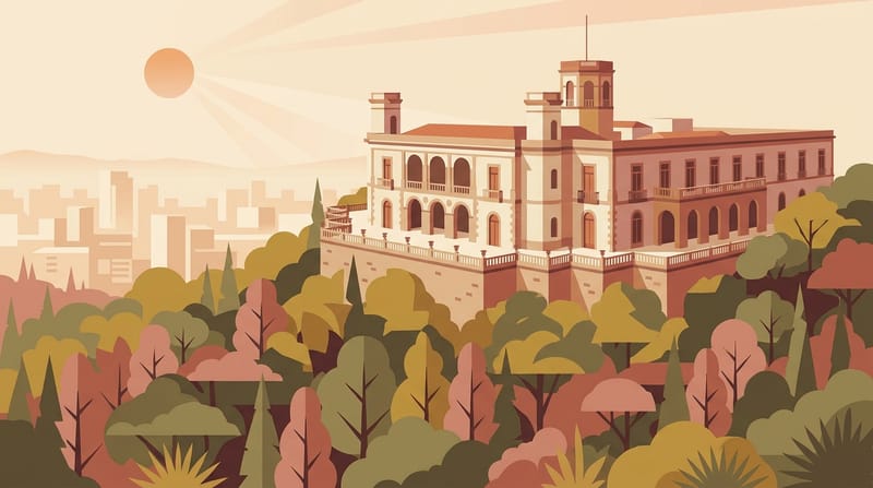
Perched on Chapultepec Hill, this former imperial and presidential residence now houses the National History Museum. The historic rooms are impressive, but the sweeping city views from the terraces are just as memorable.
Palace of Fine Arts
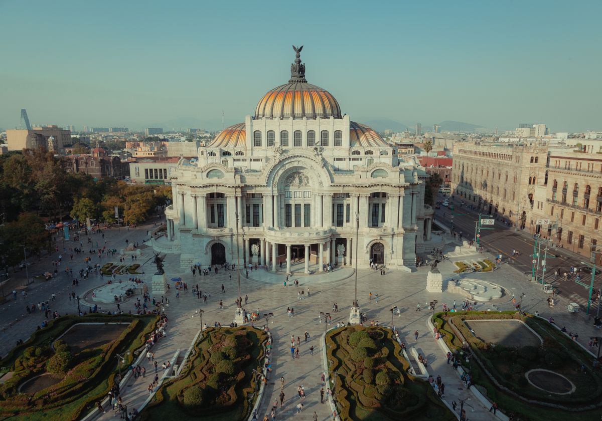
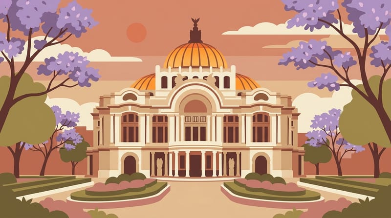
An icon of the city with an Art Nouveau exterior, Art Deco interiors and murals by Rivera, Orozco and Siqueiros. Its location beside Alameda Central makes it especially easy to combine with a walk through the historic center.
Templo Mayor
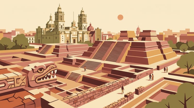
The remains of Tenochtitlan’s principal temple sit in the heart of today’s historic center. The archaeological zone and museum offer one of the clearest ways to understand the scale and ritual life of the Aztec capital.
Frida Kahlo Museum
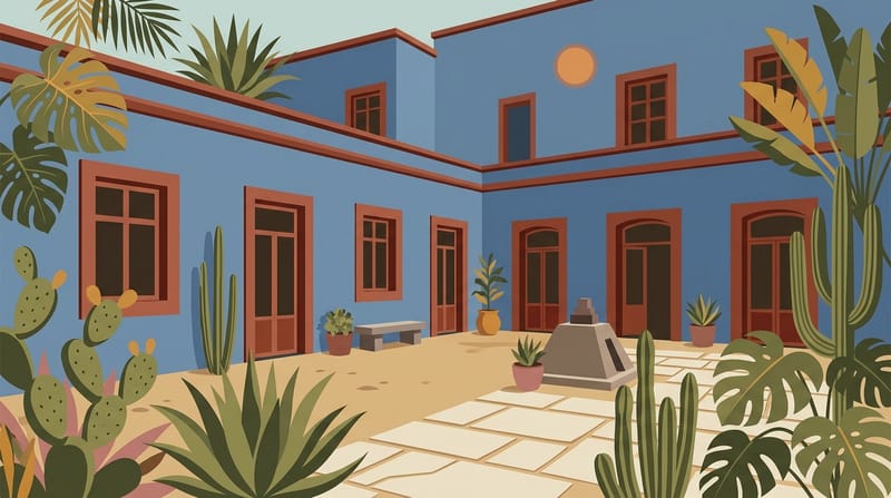
Frida Kahlo’s vivid blue former home preserves personal belongings, workspaces and a garden that make the artist’s life feel unusually close. Tickets are sold online rather than at the door, so advance booking is essential.
Xochimilco Canals
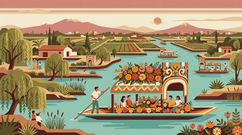
Colorful trajineras glide through canals bordered by the surviving chinampa landscape, creating one of Mexico City’s most distinctive experiences. At Nativitas, remember that the official hourly fare is charged per boat, not per person.
What to eat in Mexico City
Tacos al Pastor
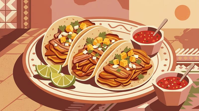
The city’s late-night classicMarinated pork cooks on a vertical spit, is shaved onto small corn tortillas, then finished with onion, cilantro and often pineapple. With roots in Lebanese migration, it is the essential Mexico City street taco highlighted by the city’s own visitor guide.
Guajolota and Atole
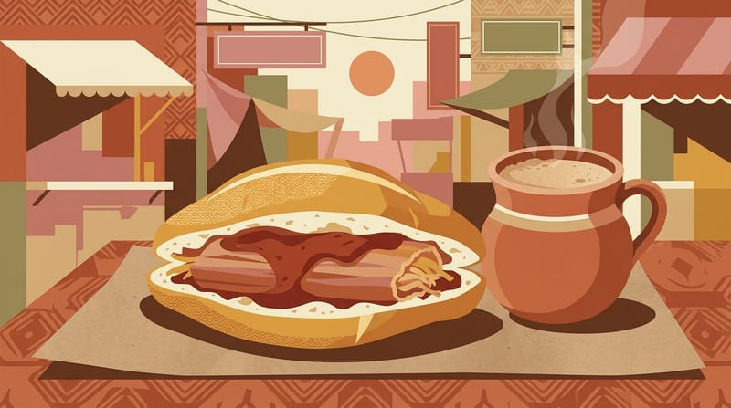
Carbs on carbs, pure Chilango styleA guajolota is a tamal tucked inside a bolillo roll, making it one of Mexico City’s most distinctive breakfasts. Pair it with a warm cup of atole and you have the filling commuter combination that has long been part of the city’s morning routine.
Huarache
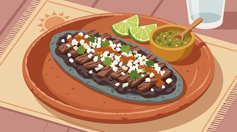
A hearty street-food take on masaThis long, sandal-shaped slab of corn masa is often filled with beans, griddled and topped with salsa, cheese, crema, nopal or meat. The huarache is closely associated with Mercado Jamaica, where local history credits its invention.
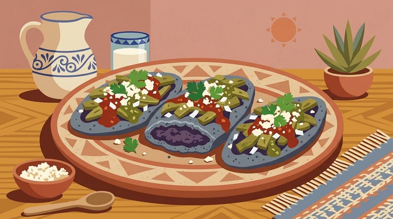
Tlacoyo
An ancient mix of corn, beans and nopalThick oval corn masa is filled with beans, fava beans or requesón, then topped with nopal, salsa, onion and cheese. Cooked on a comal, the tlacoyo is one of the clearest street-food links to the city’s pre-Hispanic food traditions.
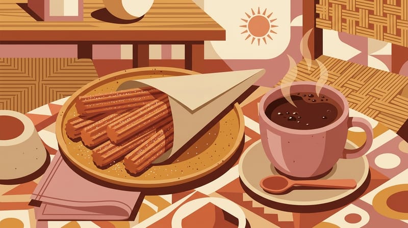
Churros and Hot Chocolate
Cinnamon crunch with rich chocolateDipping a hot, cinnamon-sugar churro into thick hot chocolate is one of the classic sweet stops in the Historic Center. El Moro’s original downtown shop has been serving the pairing since 1935.
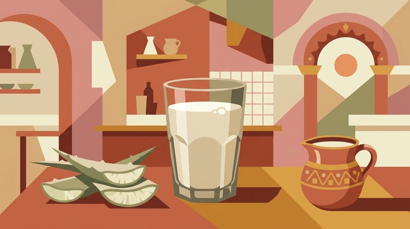
Pulque
An ancient, tangy drink from magueyThis traditional alcoholic drink is made by fermenting the sap of the maguey plant, giving it a lightly sour taste and a distinctive texture. Try it plain or as a fruit- or nut-flavored curado; a small serving is a sensible first taste.
Where to stay
| Areas | Centro HistóricoPrice: Medium | Roma-CondesaPrice: High | PolancoPrice: High | CoyoacánPrice: Medium | Juárez and Zona RosaPrice: Medium |
|---|---|---|---|---|---|
| Atmosphere | The most concentrated option for first-time visitors who want to step outside and walk straight to the main historic sights. The cultural density around Zócalo, Templo Mayor, Alameda and Bellas Artes is exceptionally high. | One of the most balanced areas to stay for visitors who enjoy walking among tree-lined streets, parks, cafés, restaurants and galleries. It has long been one of the most popular neighborhood clusters among international visitors. | A strong but expensive base for travelers seeking upscale hotels, international restaurants, shopping and proximity to the northern edge of Chapultepec. Masaryk and Lincoln Park are among the area's best-known walking corridors. | A characterful choice for travelers looking for colonial plazas, the Frida Kahlo area, markets and a more local rhythm in the south of the city. The central plazas are very walkable, but journeys to the main northern sightseeing corridors take longer. | A practical choice for travelers who want to stay centrally, close to Reforma and near strong nightlife. Zona Rosa stands out in the eastern part of Juárez as a cosmopolitan entertainment district centered on diversity. |
| Best for | First-time visitorsHistory and museum-focused tripsShort staysTravelers who explore on foot | Cafés and restaurantsNeighborhood lifeWalkingDesign and artFirst-time visitors | Luxury accommodationShoppingBusiness travelUpscale restaurantsProximity to Chapultepec | Art and historyA quieter neighborhood atmosphereLonger staysMarkets and local food | NightlifeProximity to ReformaCentral locationLGBTQ+ friendly environmentShort city breaks |
| Accommodation profile | PriceMediumNightlifeMediumWalkabilityHigh | PriceHighNightlifeHighWalkabilityHigh | PriceHighNightlifeMediumWalkabilityHigh | PriceMediumNightlifeLowWalkabilityHigh | PriceMediumNightlifeHighWalkabilityHigh |
| Transport | Strong access to the Metro and Metrobús networksThe Quetzalcóatl Metrobús route from MEX passes through Centro Histórico | Metrobús and Metro options around InsurgentesStrong public transport links toward Reforma and Centro | Metro Polanco is one of the area's main rail connectionsStrong road connections toward Reforma and Chapultepec | Metro and bus links are available, but not every point has a simple one-line ride to the historic centerConvenient access to UNAM and other destinations in southern Coyoacán | Strong Metro and Metrobús connectionsThe Reforma end of the MEX Quetzalcóatl route is close to the area |
| Advantages |
|
|
|
|
|
| Consider |
|
|
|
|
|
Planning notes.
Researched recommendations, practical information and route decisions.
- Walk from the Zócalo to Bellas Artes and explore the historic center.
- Give Chapultepec and the National Museum of Anthropology at least half a day.
- Explore Roma and Condesa slowly on foot, with coffee and taco stops.
- Avoid packing distant neighborhoods into one day and losing hours in traffic.
- Avoid keeping your phone or wallet in back or open pockets on crowded Metro trains.
- During the rainy season, avoid leaving all outdoor plans until late afternoon.
- Allow extra time for the Metro on weekdays around 07:00-10:00 and 17:00-21:00.
- Exploring Centro Histórico early in the morning makes both walking and photography easier.
- Because of the altitude, keeping your first day a little lighter can be a good idea.
Mexico City map
What will it cost me?
Figures are per-person daily USD estimates compiled from BudgetYourTrip, Numbeo and recent traveller reports. Flight/ferry tickets not included.
✓ Use budget figures as planning estimates; accommodation, restaurant and transport prices can vary by date, neighborhood and demand. · Last updated: Sep 2026
How many days?
Choose the best route for your schedule.
What to know before you go.
Tourist traps, SIM, money, taxis, safety, health, transit and language — the city in eight answers.
Around the Zócalo, do not choose a rooftop terrace for the view alone; check the menu and prices before ordering. In busy tourist areas, keeping some distance from persistent street offers makes the visit easier.
scamIn crowded Metro cars and tourist areas, keep your bag in front and avoid carrying your phone or wallet in outer or back pockets. At night, using a ride instead of walking through unfamiliar, quiet streets can be wiser. Call 911 in an emergency.
safetyThe city sits at roughly 2,240 meters above sea level, so you may tire or feel short of breath more quickly during the first days; slow the pace and stay hydrated. Although tap water is treated, visitors generally prefer sealed bottled or reliably filtered water.
healthThe Tarjeta de Movilidad Integrada is the contactless card used on the Metro, Metrobús and several other public transport systems. The card itself costs 15 MXN, and a standard Metro ride is 5 MXN. It can be bought and topped up at Metro counters and ticket machines across the network.
cardSpanish is the main language. You can get by with English in many tourist areas, but a few phrases such as “por favor,” “gracias,” “¿cuánto cuesta?” and “la cuenta, por favor” make everyday interactions much easier.
languageMexico City: weather and crowds by month
🎒 What to pack
- ✔ Walking shoes
- ✔ Power adapter
- ✔ Umbrella
- ✔ Sunscreen
- ✔ Hat
- ✔ Light clothing
FLIGHTS
Airport to city
Metrobús Line 4 QuetzalcóatlCentro Histórico and Paseo de la Reforma
The official source does not give a fixed total journey time; it varies with traffic and the boarding and drop-off point.
Best for: Travelers staying around Centro Histórico or Reforma who want low-cost direct public transport.
Limitations: During the 2026 renovation period, terminal stops are located at temporary gates; peak-hour travel can be more tiring with large luggage.
♿ Accessible
↗ Official sourceAICM Authorized TaxiDoor-to-door within Mexico City
Travel time depends on the destination area and traffic; AICM does not publish a fixed number of minutes.
Best for: Travelers with a lot of luggage, those arriving at night, or anyone who wants to go directly to the hotel.
Limitations: Fares vary by provider and destination zone. App-based taxis are not authorized within AICM's federal area.
↗ Official sourceTren Felipe ÁngelesBuenavista, Mexico City
Current official SICT information gives the Buenavista-AIFA journey as about 50 minutes; the AIFA page describes the initial operating time as about 60 minutes.
Best for: Travelers continuing via Buenavista, Centro, Reforma, or a Metro/Metrobús transfer.
Limitations: An additional Metro, Metrobús or other connection may be needed from Buenavista to the accommodation area.
↗ Official sourceMexibús Line 1 AIFA ServiceCiudad Azteca via a transfer at Ojo de Agua
The official AIFA page does not publish a single total travel time in minutes for the AIFA-Ciudad Azteca journey.
Best for: Travelers heading to the northeastern metro area who want one of the lowest-cost options.
Limitations: Central Mexico City requires an additional connection at Ciudad Azteca or another point; transferring with luggage may be less comfortable than the train.
↗ Official sourceAIT-Observatorio Bus ServiceObservatorio, Mexico City
The official AIT page lists the service as active with continuous round trips, but does not state a fixed total duration in the visible text.
Best for: Travelers using public transport from TLC to western Mexico City, especially Observatorio and nearby areas.
Limitations: Roma, Centro, Reforma and Polanco require an additional connection from Observatorio.
↗ Official sourceAIT Authorized TaxiMexico City, Santa Fe, Toluca and other official destination zones
Travel time varies by destination and traffic; AIT does not provide a fixed number of minutes.
Best for: Travelers with a lot of luggage or those who do not want to transfer at Observatorio.
Limitations: Can be considerably more expensive than the bus; fares vary by company and destination.
↗ Official sourceMexico City: frequently asked questions
Is Roma/Condesa or Centro Histórico better for staying in Mexico City?
Should I book the Frida Kahlo Museum, Casa Azul, in advance, and how should I combine it with Coyoacán?
Which embarcadero should I choose for a trajinera ride in Xochimilco?
Can Teotihuacan be visited as a day trip from Mexico City, and how much time should I allow?
Can I visit Chapultepec Castle and the National Museum of Anthropology on the same day?
Nearby routes



.jpg?width=120)